one way.
Western Okataina Walkway is open for both walking and mountain biking. The Western Okataina Walkway can be walked in its entirety in either direction from Te Ruato Bay on Lake Rotoiti or from Millar Road on Lake Ōkareka, or it can be joined from the Outdo.
The Western Okataina Walkway can be walked in its entirety in either direction from Te Ruato Bay on Lake Rotoiti or from Millar Road on Lake Ōkareka, or it can be joined from the Outdoor Education Centre on Lake Okataina Road. It is described here from Te Ruato Bay.
After leaving the car park at Lake Rotoiti, you’ll climb steeply for 15 minutes to the top of a ridge, where there are good views of Lake Rotoiti. The track then continues along an old disused forestry road. The descent to Patotara Crater is on the right, 30 minutes in. Once out of the crater you can turn left to emerge on to Lake Okataina Road or branch right along the Rongomai Track to the Outdoor Education Centre, an alternative entry/exit point.
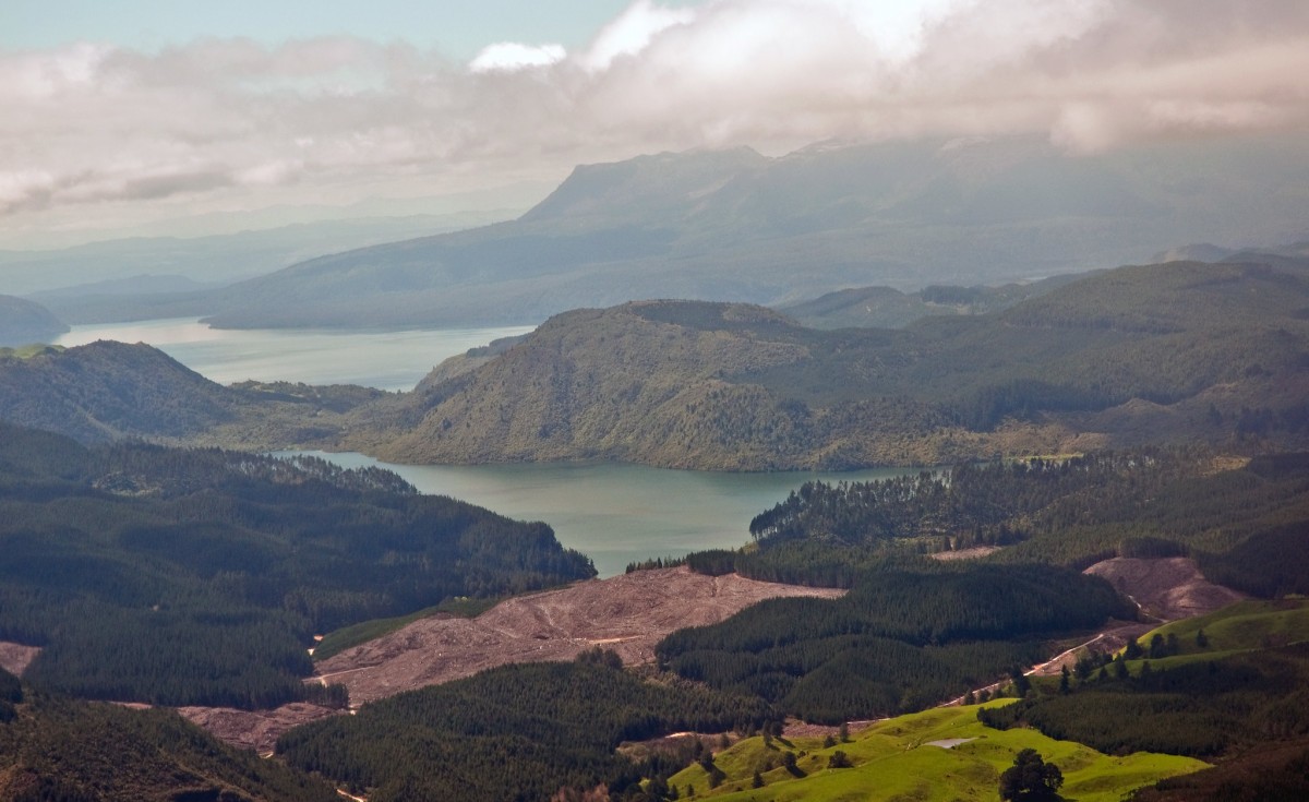
From the Outdoor Education Centre, continue on the Tarawhai Track and past the the junction with the Waipungapunga Track, which also leads to Lake Okataina. From the junction, the track is steep in places, and the surface may be rough and uneven, but the view from Whakapoungakau Trig (a short detour from the main track) is well worth the effort. The summit affords amazing views out over Lake Ōkataina, Rotorua, Rotoiti and all the way to the coast on a sunny day.
The Western Okataina Walkway continues from the Whakapoungakau Trig on to Millar Road.
Track times
- Te Ruato Bay to Outdoor Education Centre
- 2 hr
- Outdoor Education Centre to Whakapoungakau Track junction
- 2 hr
- Whakapoungakau Track junction to Millar Road
- 3 hr
- Whakapoungakau Trig Track
- 40 min return
Mountain biking
Start from Millar Road and enjoy an exhilarating downhill from the Whakapounakau Trig all the way into the Outdoor Education Centre.
Getting there
The track can be started on SH 30 at Te Ruato Bay, Lake Rotoiti (21 km from Rotorua) or from Miller Road on Lake Ōkareka (11 km from Rotorua).
Know before you go
Before you go into the outdoors, tell someone your plans and leave a date to raise the alarm if you haven't returned. To do this, use the New Zealand Outdoors Intentions process (external site) on the AdventureSmart website. It is endorsed by New Zealand's search and rescue agencies and provides three simple options to tell someone you trust the details about your trip.
Source: Department of Conservation

