Waihaha track - return via same track, Waihora track - option of one way or return trip. One way.
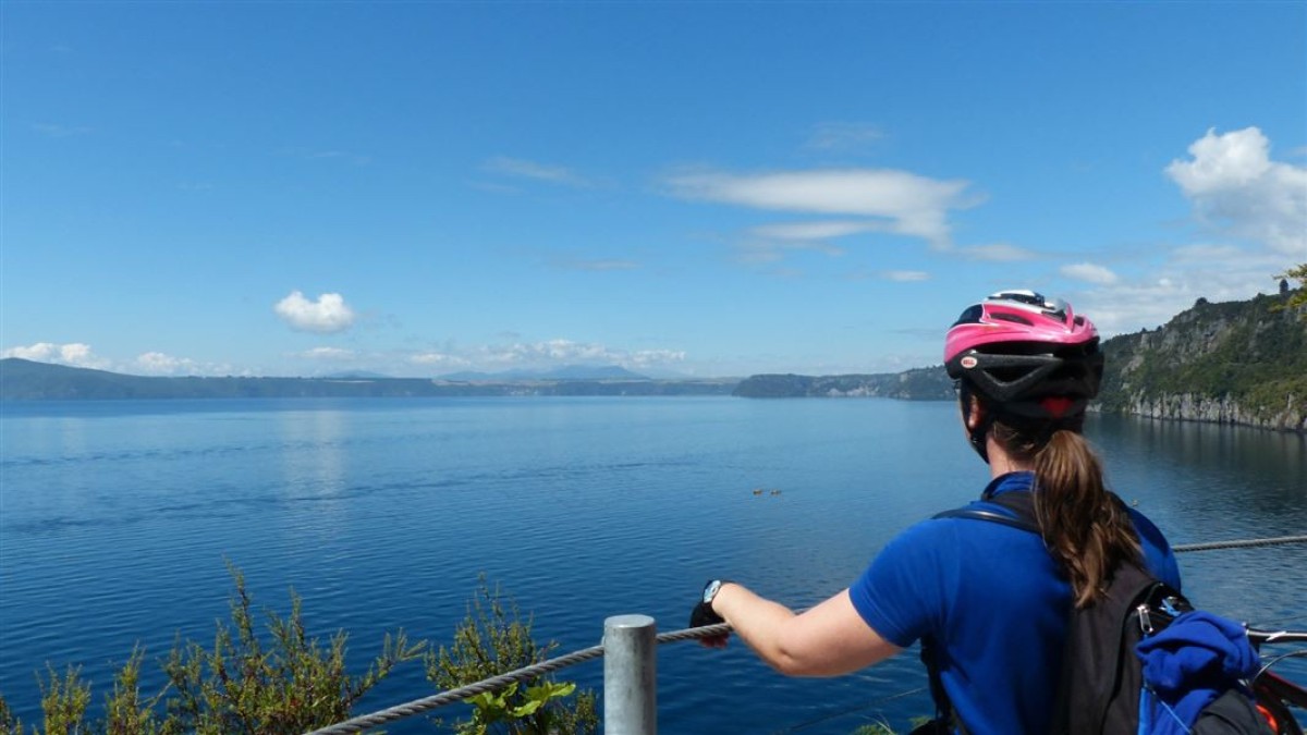
Explore the remote bush, cliffs and waterfalls of the Western Bays of Lake Taupō. Normally accessible only by boat, these trails take you through a variety of landscapes with fantastic lookout points.
Waihaha
- Time (one way):
- 3 hr 30 min walk
- 1 hr 30 min mountain bike
- Distance: 13 km
From the Waihaha River carpark on Western Bay Road (SH 32), the trail follows the river for a few hundred metres before it crosses the river on a swing bridge. The trail then gently climbs up the river onto the cliffs above, following the course of the river to the end of Waihaha Road.
The trail has great views of the Waihaha River canyon and the iconic Tieke Falls. It is surrounded by tanekaha-dominated native bush and large outcrops of weathered volcanic rocks.
Return via the same track, organise a shuttle from the Waihaha Road end, or continue on to the Waihora track.
Waihora
- Time (one way):
- 4 hr walk
- 2 hr mountain bike
- Distance: 17 km
This trail begins at the end of Waihaha Road off SH 32.
The trail passes volcanic rock formations, lush native bush and a number of fantastic lookout points perched on cliffs at the edge of Lake Taupō. The final descent down the Kotukutuku stream via bridges, platforms and boardwalks to the beach gets you up close to the waterfall and the abundant native fuschia (kotukutuku).
This is a great spot for a rest (there is a toilet here), a picnic on the beach or even a swim.
This track ends at the lake edge in Waihora Bay; return via the same track, or pre-arrange a boat transfer on to Kawakawa Bay or Kinloch.
Know before you go
These tracks are part of the Great Lake Trail, for more information visit the Love Taupō website
These are shared-use tracks. Follow the mountain bikers code: respect others, respect the rules, respect the track.
Source: Department of Conservation


