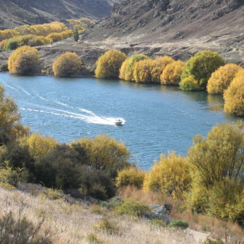
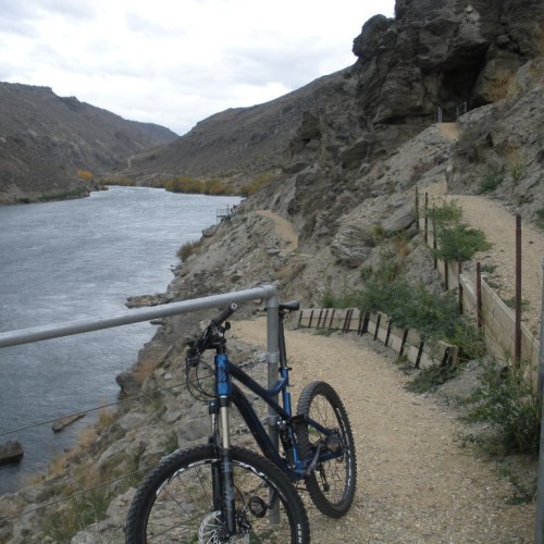
One of New Zealand’s most visually spectacular and intriguing day rides, this trail follows the Clutha Mata-au River past eroded bluffs and old gold workings set amidst graceful willows, native shrubs and fragrant thyme.
Stretching between Alexandra and Lake Roxburgh Hydro Dam, the easy Roxburgh Gorge Trail offers a striking snapshot of Central Otago’s heritage and natural history – in all its captivating forms, shapes and seasonal colours.
The otherworldly gorge was scoured by the mighty Clutha Mata-au River, a primary pathway for early Māori moa hunters who traveled from mountains to sea in their mokihi (reed canoes). Then came the gold rush, which left an indelible mark on the landscape in crumbling ruins, and the fragrant thyme cloaking sheer hillsides amidst native gardens of kanuka, kowhai, mountain cottonwood, and broom.
Highlights
- rugged bluffs and rock forms
- schist huts & other gold rush relics
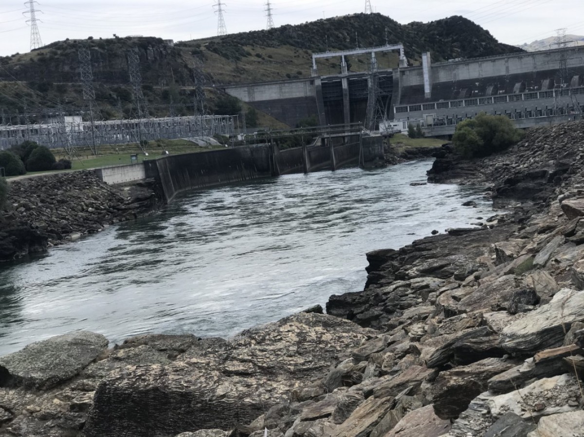
- the impressive Roxburgh Dam
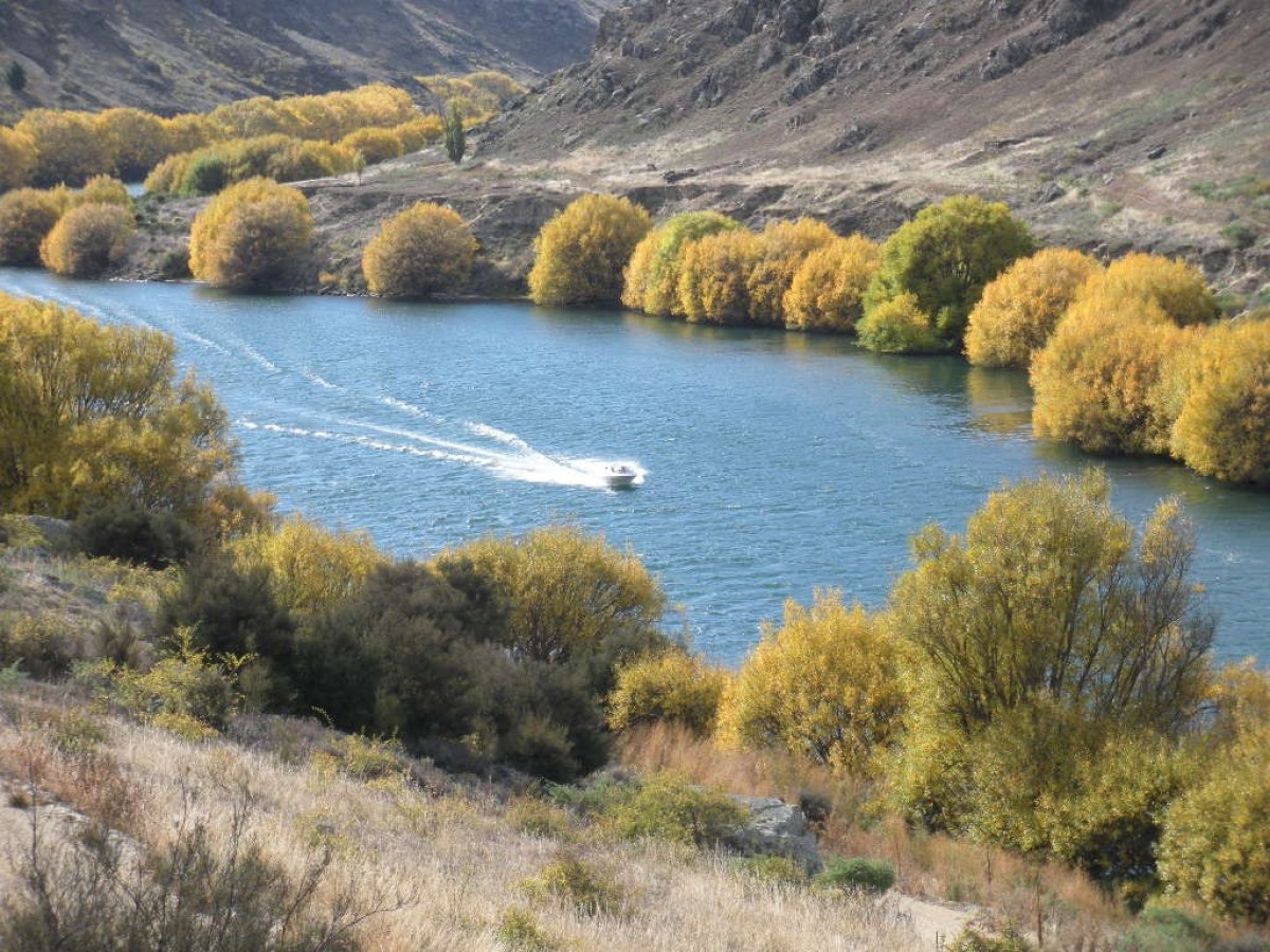
- striking seasonal colours
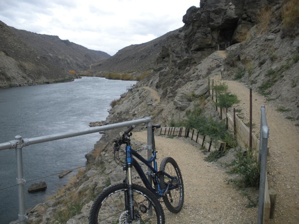
- easy riding with gentle climbs & flowing descents
- jet boat tour through remote reaches
- birdlife including kārearea, the native falcon
- interesting vegetation, from wild thyme and willows to rare native plants
- charming Alexandra town
- extra adventures on the adjacent Clutha Gold Trail & Otago Central Rail Trail
Allow 5–6 hours for the full journey between Alexandra and Roxburgh Dam, which combines 21km of riding with a 13km jet boat leg. Not only exciting, the boat trip is also a rare chance to see the many special sights hidden deep in the gorge.
It’s easy to explore Roxburgh Gorge without the boat trip. Simply do a return ride (or walk) from either end as described in the Day Rides section below.
The trail is just as enjoyable ridden in either direction; shuttle operators often encourage a drop-off at Roxburgh Dam and return ride to Alexandra as this takes the pressure of riders to meet a final pick-up.
Eager mountain bikers might also like to note that the Roxburgh Gorge Trail provides access to the bike trails of Flat Top Hill Conservation Area via the Sphinx Rock trail that starts 1km before Doctors Point jetty. Trail maps are available from Alexandra’s bike shops and i-SITE.
Alexandra—Doctors Point
- 10 km
- Grade 2 – 3 / easy – intermediate
- 1 – 2 hours
The trail starts at the Clutha-Mata-au River near Alexandra’s Blue Bridge. Stranded in the river alongside it are the remaining piers of the original suspension bridge, built-in 1882. Weathered relics of a bygone era, these monumental pillars are an apt gateway to the journey ahead.
The trail passes through a forest of silver poplars now covering Frenchman’s Point, formerly rich gold deposit workings. It then enters the narrow Roxburgh Gorge, flanked by bluffs up to 350 metres high. Suddenly, you’re in another world.
The wide, smooth trail passes Ketts Gully with its massive stacked rock walls, sporting several old rock bivvies and huts. The trail keeps meandering gently towards Butchers Creek, an old gold-mining site marked by the water races, fashioned from stone, used to channel water to the sluicings.
The trail continues winding through the gorge, climbing a zigzag to access The Narrows, an ancient rockslide where care is required to negotiate the narrower trail section and boardwalk. The contrast of blue water, grey schist, purple thyme, willows, and poplars – green or gold depending on the season – is a feast for the eyes.
Take as much time as your timetable allows because Doctors Point appears all too soon. This is the pick-up point for the 13-kilometre jet boat trip bridging the missing link.
The 45-minute boat tour downriver is a highly memorable way to delve deeper into the gorge’s history. You’ll see the extensive sluicings at Doctors Point, the site of the 14 Mile electric-powered dredge and its generator plant, and other hidden sights such as Mrs Heron’s mud-mortar cottage. Local jet boat drivers revel in retelling these riveting stories of the gold miners of yore.
Shingle Creek jetty—Roxburgh Dam
- 11 km
- Grade 2 – 3 / easy – intermediate
- 1.5 – 2.5 hours
Disembarking at Shingle Creek jetty, riders pass an old hut and some hotel ruins then commence a gentle climb up to Elbow Creek, a haven for native flora, each bend offering a different view of the river below.
The river slows and widens as it forms Lake Roxburgh, the waters of which drive the power station ahead. With pretty islets in the lake and broad views of the surroundings, this is a lovely but quite different stretch of trail.
A series of switchbacks lead to a fitting finale, the impressive Roxburgh Hydro Dam lookout. Opened in 1956, it’s the largest concrete gravity dam in New Zealand and reportedly powers up to 200,000 homes.
The trail ends at Commissioner’s Flat car park, starting point of the Clutha Gold Trail that can be followed for an additional 9km or so to reach Roxburgh township.
Source: The New Zealand Cycle Trail
