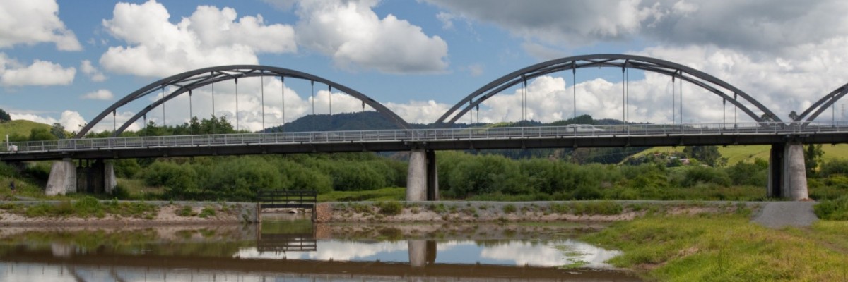
Once you've crossed the bridge, continue a further 150m around the first corner and there is a stile to take you across the first fence to this riverside track which runs parallel to Te Ohaki Rd. On a clear day, you'll see the orange-topped chimneys of the Huntly Power station standing in the distance.
1.5km in, past Maurea Marae, there's a monument to the Ngati Naho chief, Te Wheoro, whose personal history embodies the extraordinary stresses of colonial rule on Waikato Maori as they argued strategies to preserve tribal identity. Te Wheoro sided at first with the Crown. In 1857, he spoke against setting up a Maori king and, at the great conference of Maori leaders at Kohimarama in 1860, spoke again in favour of the Government. Governor Grey's British troops invaded Waikato territory in July 1863 and, in November that year, overcame the Maori redoubt at Rangiriri, forcing the Maori King, Tawhiao, out of Ngaruawahia to sanctuary around Waitomo and Te Kuiti. In the years that followed, Te Wheoro acted as an intermediary for the Government's negotiation with the King. As a Maori MP over the next two decades, Te Wheoro witnessed Government decisions he saw as racist and finally became an implacable critic of the Native Land Court. He came to believe local self-government was right for Maori and in 1884, in company with Tawhiao, he travelled to England to petition Queen Victoria for redress of Maori land seizures.
At 7km, the track comes up to the Huntly Golf Course. It cleaves to the river here, keeping behind a screen of trees, safe from the golf balls that ping up the 16th fairway. At the tee, it's safe to come out. The clubhouse is close by and opens most weekends for hot food, maybe even a beer. Walkers welcome.
The track follows the stopbank out to Te Ohaki Rd, to circumvent the Huntly Power Station's ash ponds. It stays on the road verge for another kilometre before ducking back onto the stopbanks, crossing Maori land between Te Ohaaki Marae and the river, then exits back onto the road. For the last 200m it enters shady bush through the sculpture park in front of Huntly Power Station.
From the Sculpture Park, continue south along footpaths/road margins on Te Ohaki Rd - Harris Rd - Riverview Rd and then (500m into Hakarimata Rd) turn right (south-west) into Parker Road. Walk 800m along this road to DOC's Hakarimata Scenic Reserve.
How to get here
Northern Start: Rangiriri Bridge (Junction of SH1 and Churchill East Rd)
Southern End: Hakarimata Scenic Reserve, end of Parker Rd
Maintained by Te Araroa


