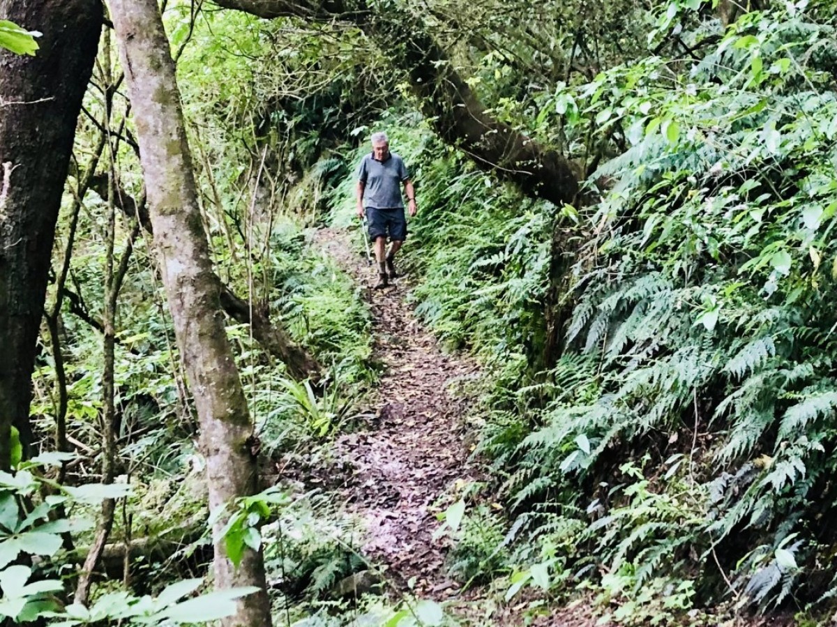
There are two walks through the conservation area as well as a campground.
Homebush Track
- Time: 30 min return
- Distance: 1 km
A short walk with a stream crossing This loop track starts from the campground, crossing a small stream and then climbing to a ridge where there are large kaikahikatea and tötara. The most impressive is a stately tötara about three meters in diameter. The track then returns via the Burke Hut memorial.
White Pine Track
- Time: 2 hours return
- Distance: 5 km
Easy tramping with stream crossings. This track starts from the Pioneer Park campground and climbs through regenerating native bush and then through introduced forestry trees. The return leg drops steeply into a native bush gully and zigzags (seven times) across the stream before meeting the original track. A left turn takes you back to the campground.
Getting there
Pioneer Park Conservation Area is 32 km from Geraldine. Follow the Geraldine Fairlie Highway (79) for 23 km before turning onto Gudex Road.
Take the next right onto Middle Valley Road. Follow this road for 2 km before turning left through iron gates into Pioneer Park.
History and culture
This 390-hectare conservation area has links with the early settlers of the district. Pioneer Park got its name in recognition of the early pioneer families who settled in this area; “to commemorate the courage and forbearance of the early settlers”.
Mr Burke was the first settler to drive a bullock cart over the pass (which now bears his name) into the Mackenzie country. Within the reserve, a chimney is all that remains of the house he built-in 1885.
Source: Department of Conservation


