Take a trip back into New Zealand's rail heritage while you walk or cycle an old coach road. The road was used to carry passengers and goods between two railheads on the North Island main trunk link before they were linked in 1908.
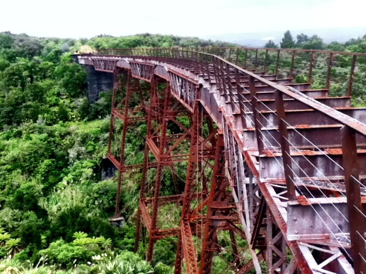
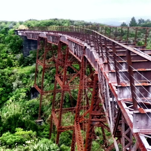
The Ohakune Old Coach Road formed an integral link between the two rail heads between 1906 and 1908, allowing through journeys by horse and coach before the rail was completed. The Hapuawhenua Viaduct was one of the final components of the North Island main trunk railway.
Heritage features on the trail include a unique cobbled road, massive steel viaducts, a curved tunnel, railway bridge remains, and old campsites.
The journey also takes visitors through some beautiful stands of native forest with sweeping views across the district.
Ohakune Railway Station to Marshalls Road carpark
From the station follow the footpath to the Mangawhero River Bridge and cross over onto Old Station Road. Continue about 1.5 kilometres and turn right onto Marshalls Road. Rongokaupo Wetland and picnic area, a community project under development, is situated about 350 metres before Marshalls Road carpark. The track continues from the car park.
Marshalls Road carpark to Hapuawhenua Viaduct
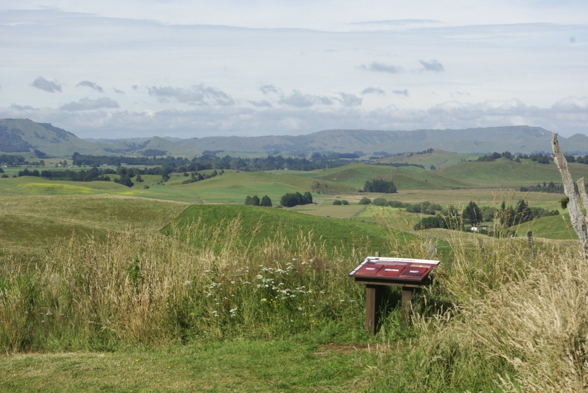
From the car park, the track follows the Ohakune Old Coach Road, weaving its way through rolling farmland with views over the spectacular Ohakune Basin.
It then heads into native bush toward the Hapuawhenua Viaducts. Cobblestones (setts) are still evident along the track. Explore the Hapuawhenua Tunnel and marvel at the workmanship of yesteryear. The track climbs up to a ridge before dropping into the Hapuawhenua Valley. There are good stands of kahikatea, rimu, mataī and ponga along the way. From this point the two viaducts come into view.
Walk the historic Hapuawhenua Viaduct (cyclists dismount on the viaduct) and enjoy both old and new viaducts and native forest surrounds. The limestone cliff that is visible high up on top of Raetihi Hill is a reminder that this area was once under the sea. From here you can return to Ohakune or carry on to Horopito.
Hapuawhenua Viaduct to Horopito
From the western end of Hapuawhenua Viaduct access the cycle trail to Horopito. The trail passes through a beautiful section of native bush before coming out on the original Old Coach Road again. This is known as the Skyline section; some kilometres of it can be very
muddy and difficult for less experienced riders. On the way to the highest point, the trail passes the old quarry which supplied much of the rock for the cobbles as the old dray road was upgraded to a coaching road in 1905.
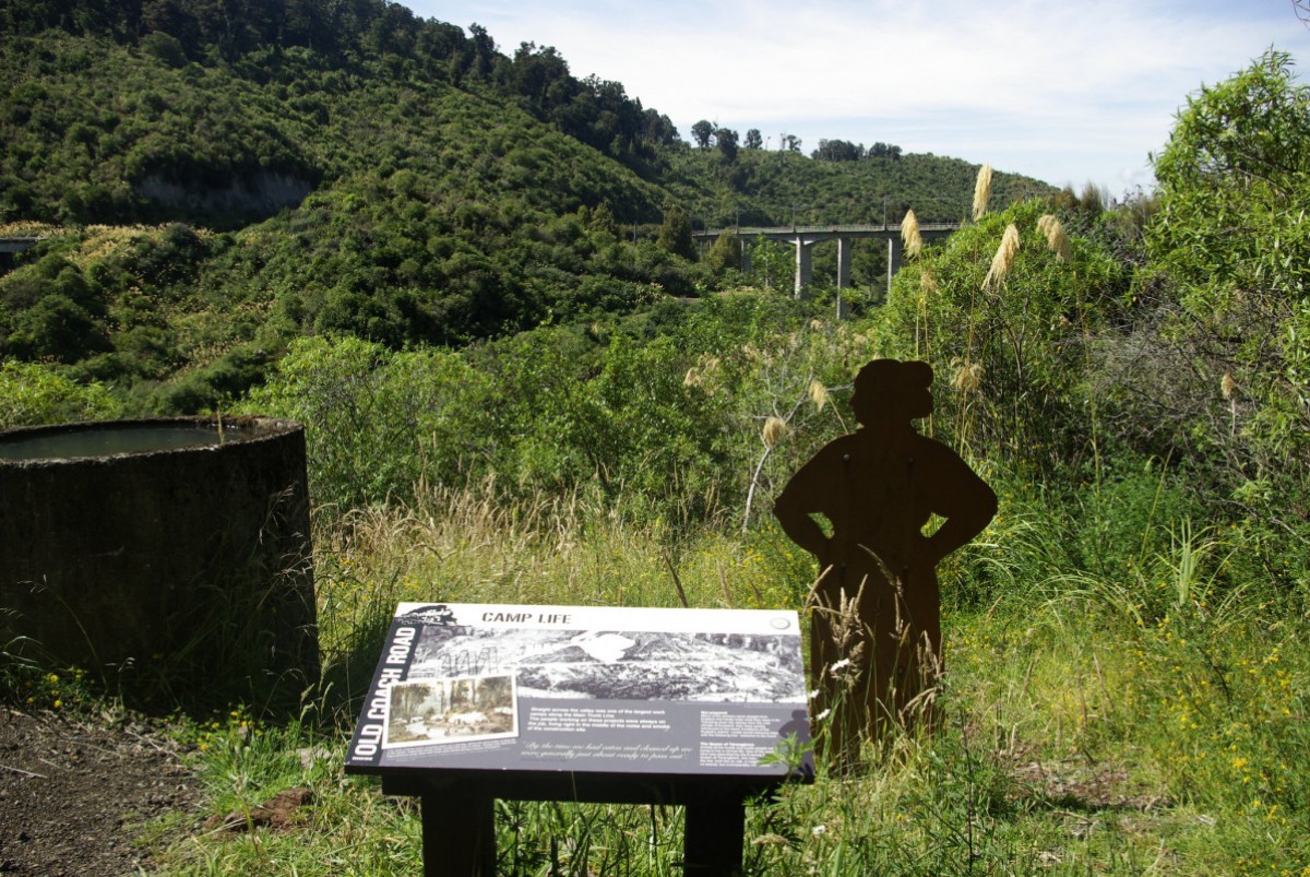
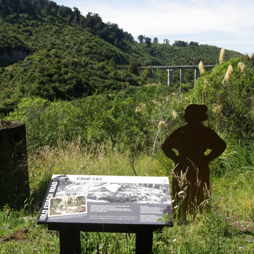
At the top of the ridge, you again pass by some magnificent rimu and rātā trees and there are beautiful views over farmland and hills. Throughout this part of the trail there are old campsites established when the dray road was upgraded. While not much can be seen of them, they are a reminder of the hardships the road
workers and their families faced while living in canvas-covered houses in the midst of a cold, wet rainforest.
Shortly after crossing the bridge over a beautiful spring-fed stream, there is a grassed picnic area surrounded by rimu and tawa trees. This is an ideal place to stop for a rest before continuing through the forest, down the hill to Taonui Stream, and under the new Taonui Rail Bridge. The trail follows the stream down to the historic Taonui Viaduct. From the top of the viaduct, you follow part of the old railway alignment through to the present day railway line. The railway line must be crossed at the designated crossing point. Use caution when looking for trains that regularly use the line.
From the railway line, the next points of interest are the old viaduct abutments across Haeremaere Stream. From here the trail crosses the stream and follows the Old Coach Road through to Horopito.
Mountain biking
This is a shared-use track. Follow the mountain bikers code: respect others, respect the rules, respect the track.
Know before you go
As the track passes under the main trunk line, be conscious of rail traffic and flying objects from passing trains. For your safety do not enter the railway corridor.
Getting there
Access the Ohakune Old Coach Road from Ohakune or Horopito. It's a one-way walk or rides so you'll need to return the same way or arrange transport back.
From Ohakune:
Start at the historic Ohakune railway station, ride down Old Coach Road and turn right into Marshalls Road to join the track. Or, drive to the Marshalls Road car park (5 minutes drive from Ohakune) and begin the ride there.
From Horopito (north of Ohakune on SH 4):
Turn onto Matapuna Road from SH4. There is a parking area just across the railway line.
Source: Department of Conservation


