Description
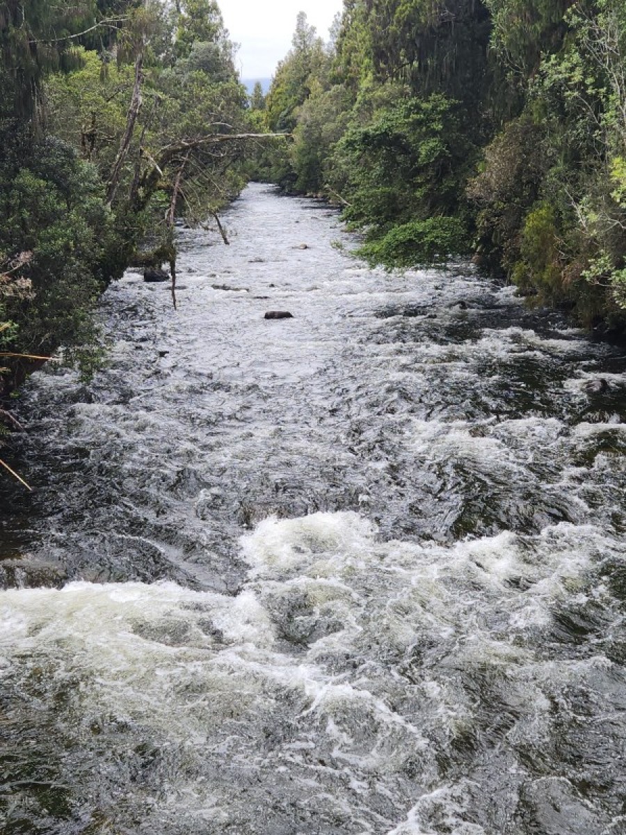
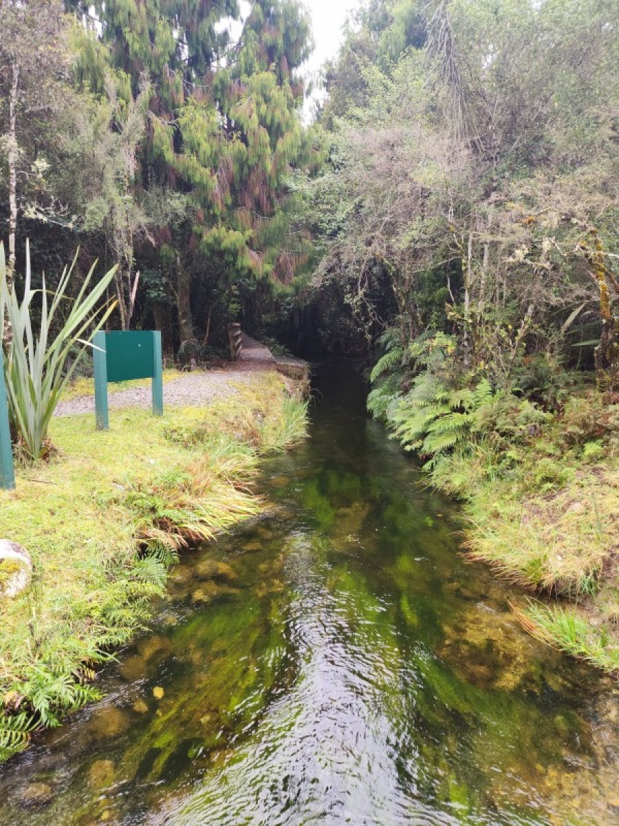
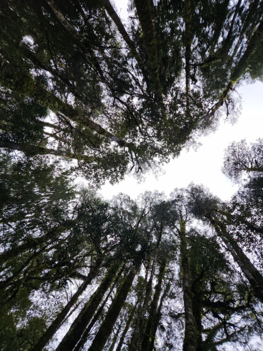
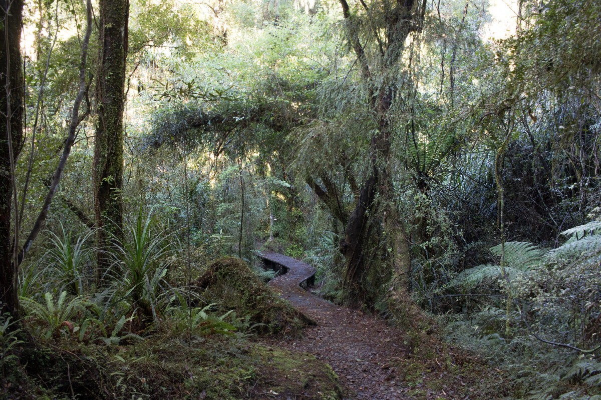
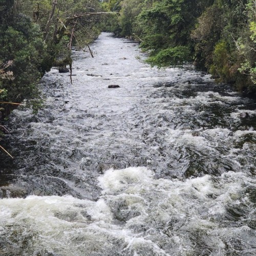
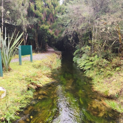
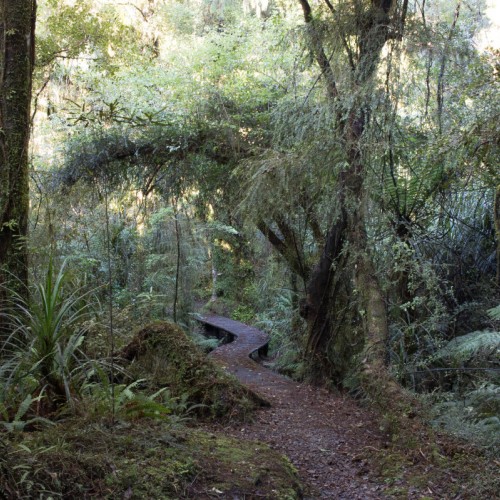
The walkway follows a historic power station water race as it twists and turns along the edge of a scenic reserve.
The walkway starts at the Landing at the northern edge of Lake Kaniere and ends at Kennedy Creek on the Hokitika-Lake Kaniere Road. The section of the walkway from Wards Road to Kennedys Creek is open but damaged. It's narrow and rough in places.
Shorter sections can be walked – the most popular option being an easier stretch from the Landing to Ward road carpark which takes about an hour.
Mountain biking
This track is also suitable for mountain biking and is part of the West Coast Wildnerness Trail. The stretch between The Landing and Ward Road is easy mountain biking, while the remaining section is more suitable for intermediate/advanced bikers.
Getting there
From Hokitika head east 19 km along Lake Kaniere Road, this road meets the lake at 'The Landing'. The road forks at this point, the right road heads to 'Sunny Bight' and the other is Dorothy Falls Road which takes you around the east side of the lake past Hans Bay.
Know before you go
The Walkway is suitable for people of average fitness.
For track conditions, maps, weather forecasts and more information on the area contact the Hokitika DOC office.
Before you go into the outdoors, tell someone your plans and leave a date to raise the alarm if you haven't returned. To do this, use the New Zealand Outdoors Intentions process on the AdventureSmart website. It is endorsed by New Zealand's search and rescue agencies and provides three simple options to tell someone you trust the details about your trip.
Source: Department of Conservation


