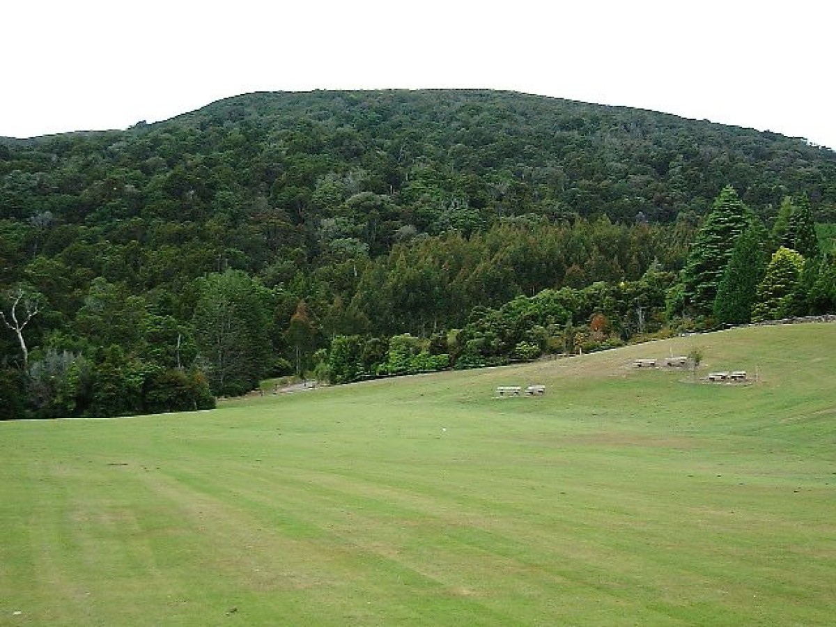
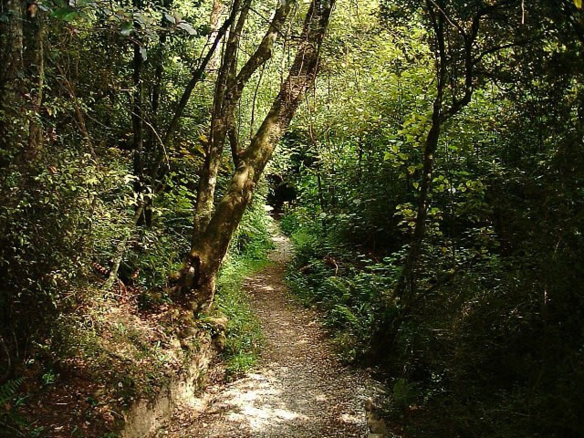
Mixture of loop and one-way tracks. Many tracks to choose from inside the reserve.
There are several tramping opportunities available in Croydon Bush Scenic Reserve.
Dolamore Track
- Track category: Walking track
- Time: 30 min loop track plus 30 min sidetrack
From Dolamore Park carpark, the track crosses Waimumu Stream. Turn left after the bridge onto a well-formed gravel track, which climbs gradually through mixed podocarp hardwood forest towards a ridge. After about 15 minutes, a sign marks a turn off towards a lookout point which provides panoramic views of the Southland Plains and even Bluff Hill and Stewart Island on a clear day.
The return section of the loop track heads downhill from here and meets up with the boardwalk section, which can be followed out to Dolamore Park.
Whisky Creek Track
- Track category: Walking track
- Time: 2 hr loop track plus 30-45 min sidetrack
From Dolamore Park carpark, cross Waimumu Stream and turn right along the wheelchair-accessible boardwalk. Turn right, cross the bridge climbing steadily to a ridge. This section of track passes through a podocarp hardwood forest before crossing a hillside face on an easy grade.
A sign marks a turnoff to Poppelwells Lookout. Care is needed on the steady climb to the lookout where you are rewarded with commanding views of the Southland Plains. On a fine day seats at the lookout make it an ideal lunch spot.
Returning from Poppelwells Lookout, follow the track to Whisky Creek and then on to the car park just off Domain Road.
From the carpark the way back to the Dolamore Park picnic area is via a well-formed grass track. Allow approximately two hours for the loop trip and 30-45 minutes extra for the Poppelwells Lookout side trip.
Hidden Valley Route
- Track category: Tramping track
- Time: 2 hr loop track
- Distance: 3 km
From the Whisky Creek carpark at the end of Domain Road, the Whisky Creek track is followed until it joins the line of an old water race. Here the Hidden Valley Route heads off to the right along the old water race crossing two streams.
The track follows the second stream for a short distance before climbing steeply through the bush to an open grass and scrub glade. It then continues down through the glade meeting a track alongside Whisky Creek. Follow the track downhill until it comes out on the Whisky Creek track. The loop is completed along the trackback to the carpark.
Grant’s Picnic Area routes
The eastern end of Croydon Bush Scenic Reserve, accessed from Croydon Bush Road, is locally known as Grant's Bush. The Hokonui Tramping Club maintains three routes in this area.
Grant's Track is the most well-formed of these tracks. It starts from the left-hand side of the clearing at Grant's Bush and follows the ridge to the fenced farmland where a route can be followed with a short stroll through tussock to East Peak (2 km, 30 min return).
Middle Track is reached by going right from Grant’s picnic area, crossing a stream and following a marked track through to a paddock. Middle Track turns immediately uphill into the native bush at this point and is marked with orange track markers.
Richardson Track is reached by crossing the paddock mentioned above and entering a pine plantation on the northern side. The route goes through the plantation, crosses a stream and goes upstream into the native bush.
Both Richardson and Middle Tracks are steep, rough and rocky but not difficult to follow. They eventually end at East Peak.
Getting there
Croydon Bush Scenic Reserve is located approximately 10 km to the north-west of Gore. The Hidden Valley route is accessible from the Whisky Creek carpark at the end of Domain Road. Grant's Bush is accessed from Croydon Bush Road, at the eastern end of this scenic reserve.
Source: Department of Conservation


